bathymetric
Språk: English
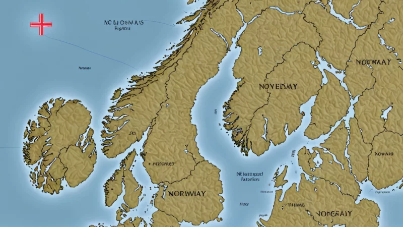
A depth chart is a map that displays the seafloor and the depth of the water in a specific area. It is used for navigation and to find the best route through unknown waters.
- A depth chart is a map that displays the seafloor and the depth of the water in a specific area. It is used for navigation and to find the best route through unknown waters.
Beslektede ord til bathymetric
På andre språk
- dybdekart Norwegian
- havdybdekart Norwegian
- bathymetrisk kart Norwegian
- nautisk kart Norwegian
Gi tilbakemelding på oppslaget
Hjelp oss å finne feil eller mangler i «bathymetric». Velg hva det gjelder og beskriv konkret hva som bør endres. Ikke ta med personopplysninger.