Ordliste > English > topographic map
topographic map
Språk: English
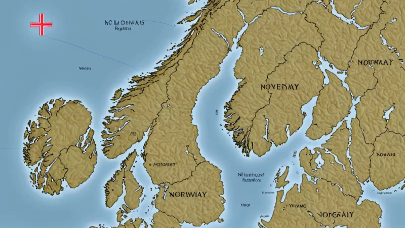
- A relief map refers to a map that displays height differences and terrain forms using relief techniques. These maps are often used to visualize terrain forms and height differences in an area, and can be useful for planning outdoor activities such as hiking and skiing.